
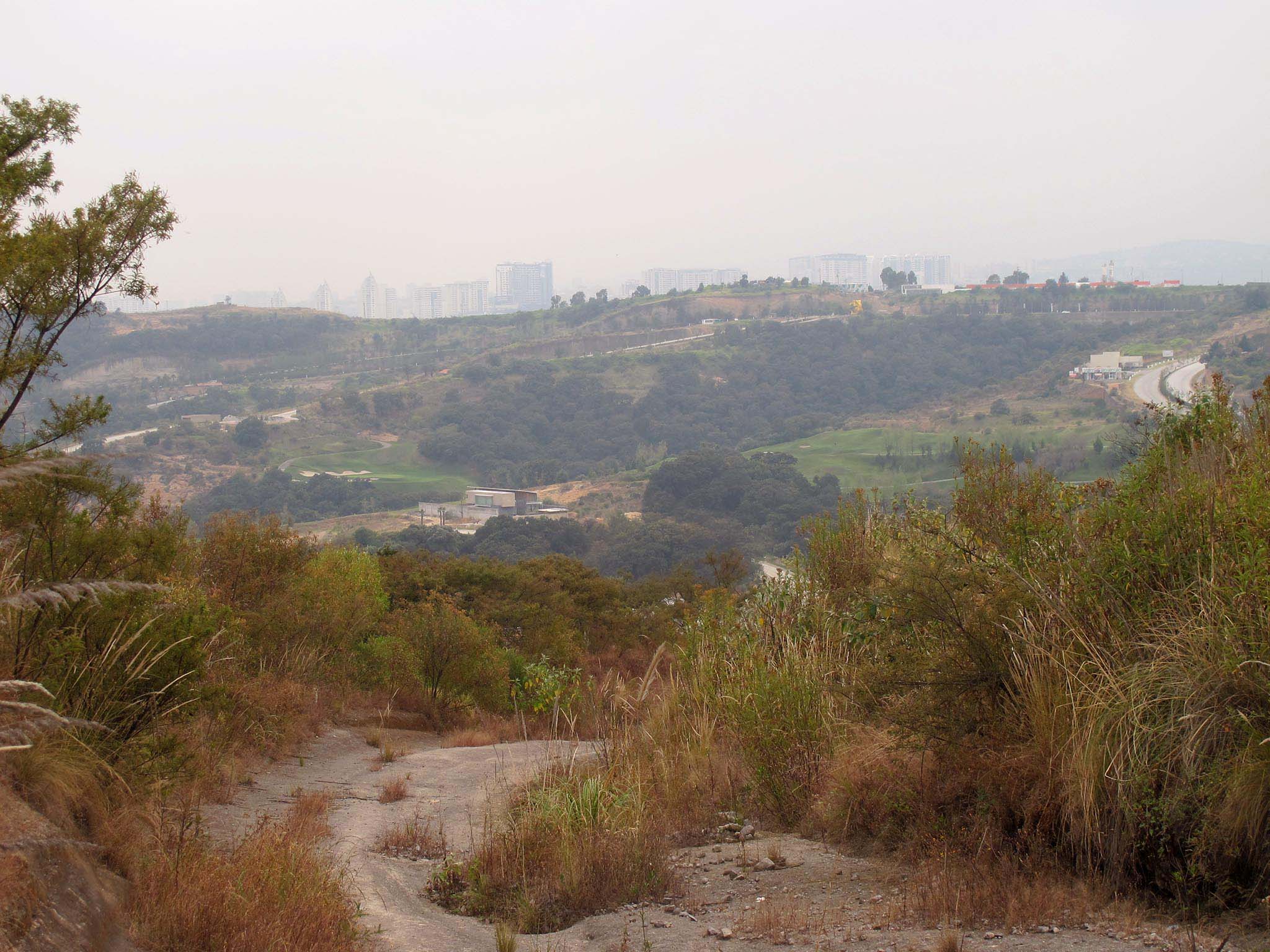
Mexico City has continued to expand through the Valley of Mexico until it reaches places where it can expand no more. Without these physical obstacles the city would probably just keep on growing. These physical obstacle are also the reason why the city often has relatively sharp edges. It is simply impossible to build further out because there is a lake or a mountain. Another kind of obstacle is cultural, meaning that the rural inhabitants are unwilling to sell their land and resist urbanization. Usually when the city stops one of these two phenomena is on display.
Sierra de Guadalupe
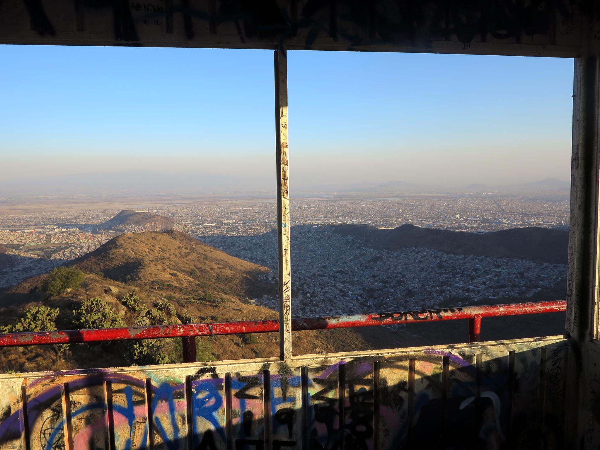
The Sierra de Guadalupe is the highest and wildest outcrop of hills directly on the edge of the megalopolis. It is actually an island of rock, forest and pasture completely surrounded by the city. It divides the city’s old North between the city center and the Sierra de Guadalupe and its new North, the urban agglomeration formed around the former villages on the northern of the Sierra de Guadalupe – Tultitlan, Coatepec and Ecatepec.
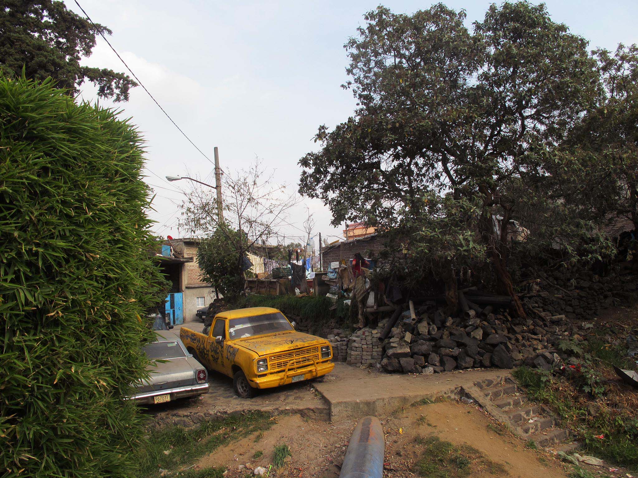
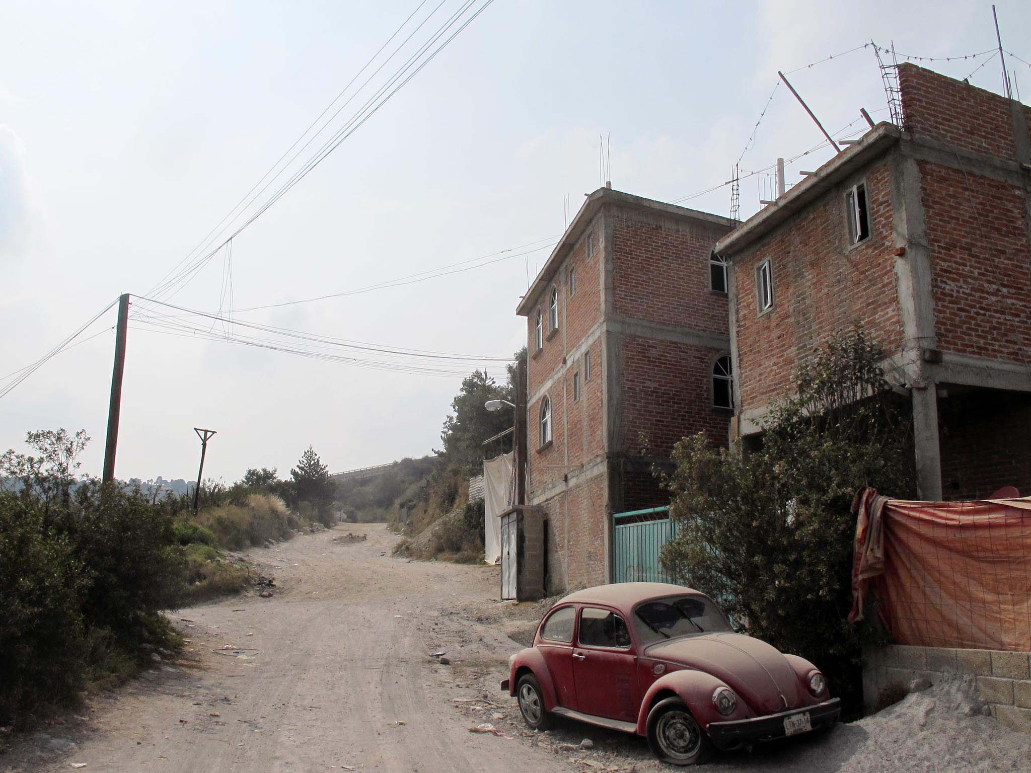
The oldest and most hallowed parts of the edge of the city lie on the southern base of the Sierra, with the shrine to the Virgin of Guadalupe at the foot of the hill Tepeyac forming an important, cultural and historical site. Aside from Coacalco and Tultitlan all of the municipalities built around this group of hills have iffy reputations. The city has also entered the group of mountains through valleys, the most notable example being the area of Cuautepec Barrio Alta and Barrio Bajo in the extreme north of the Distrito Federal. San Andres de la Cañada is almost a hidden village in the interior of the mountain. Walls separate most of the neighborhoods from the hillside. The transmission disks of televise are on the the Pico de los Tres Padres hill and those of TV Azteca on the Chiquihuite hill.
The massif is actually formed by more than a dozen hills jumbled together along ridges and steep valleys. The highest peak is the Pico de las Tres Padres reaching exactly 3000 meters – 800 meters above the valley floor. Beyond size what is impressive about the Sierra de Guadalupe is its wildness, with steep inclines covered with cactae, small brooks running down sheer ravines, oak trees and sage brush. Precisely these steep inclines makes the Sierra de Guadalupe a great conductor of flooding, as rainy season cloud-bursts rush down the slopes to all sides. Precisely this kind of flooding is supposed to have inspired the Mexican composer Juventino Rosas who was living in Cuautepec to write the famous waltz Over the Waves.
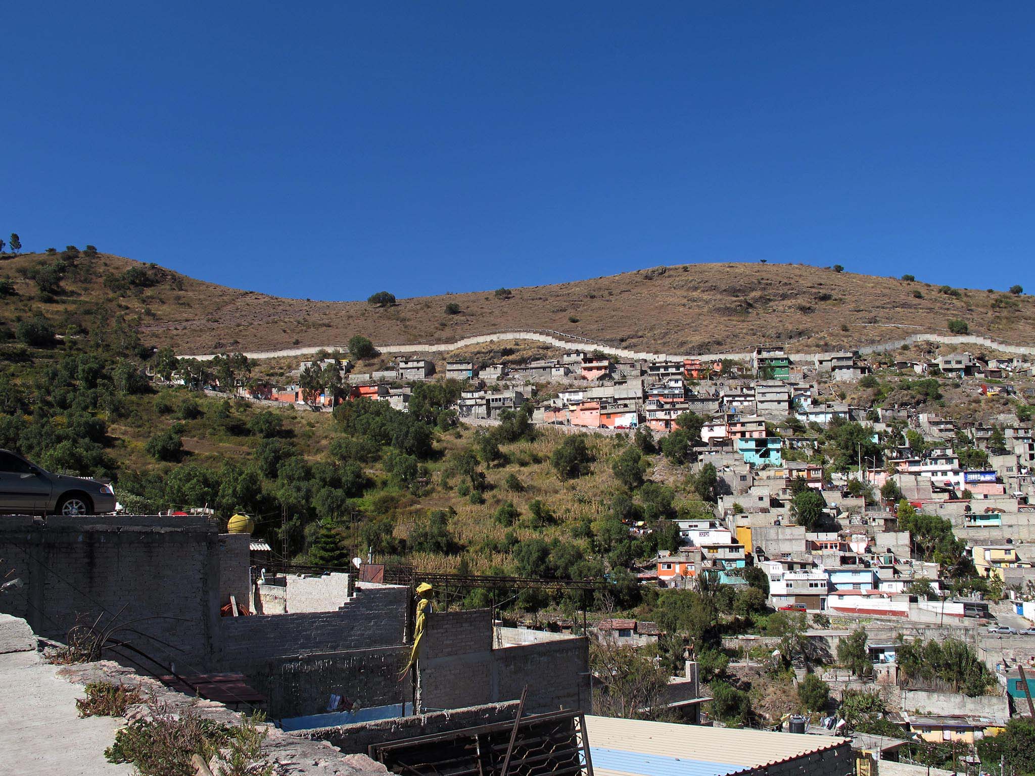
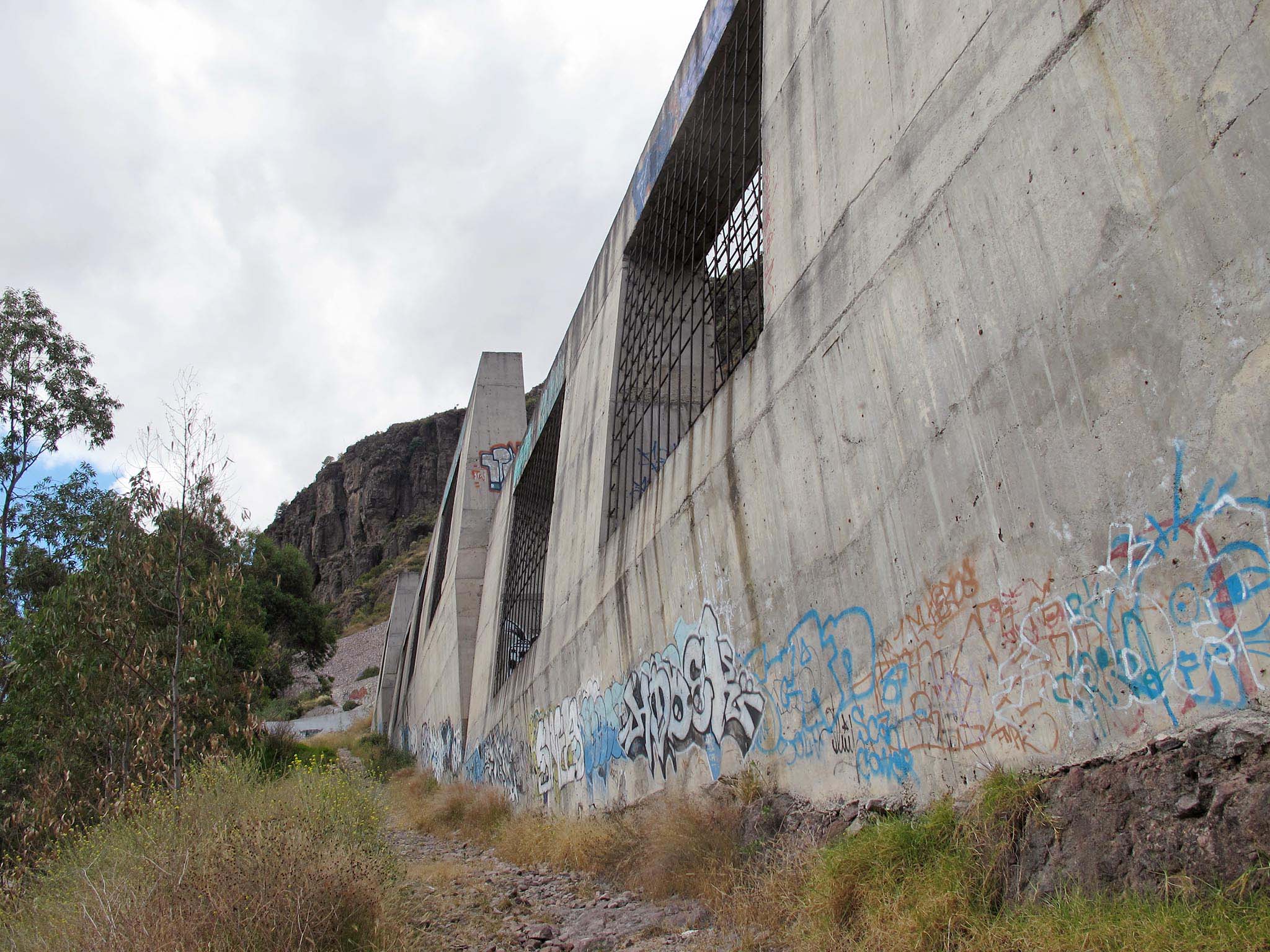
The wilder slopes of the Sierra are used for pasture and herds of horses and cows can be found grazing in amid the slopes. Many of lower slopes are covered with eucalypti planted in an attempt at reforestation. The city finally closed its ring around this massif in the last decade with the urbanization of the frontier between Tultitlan and Coacalco, leaving the Sierra de Guadalupe completely surrounded.
32. Lake of Texcoco
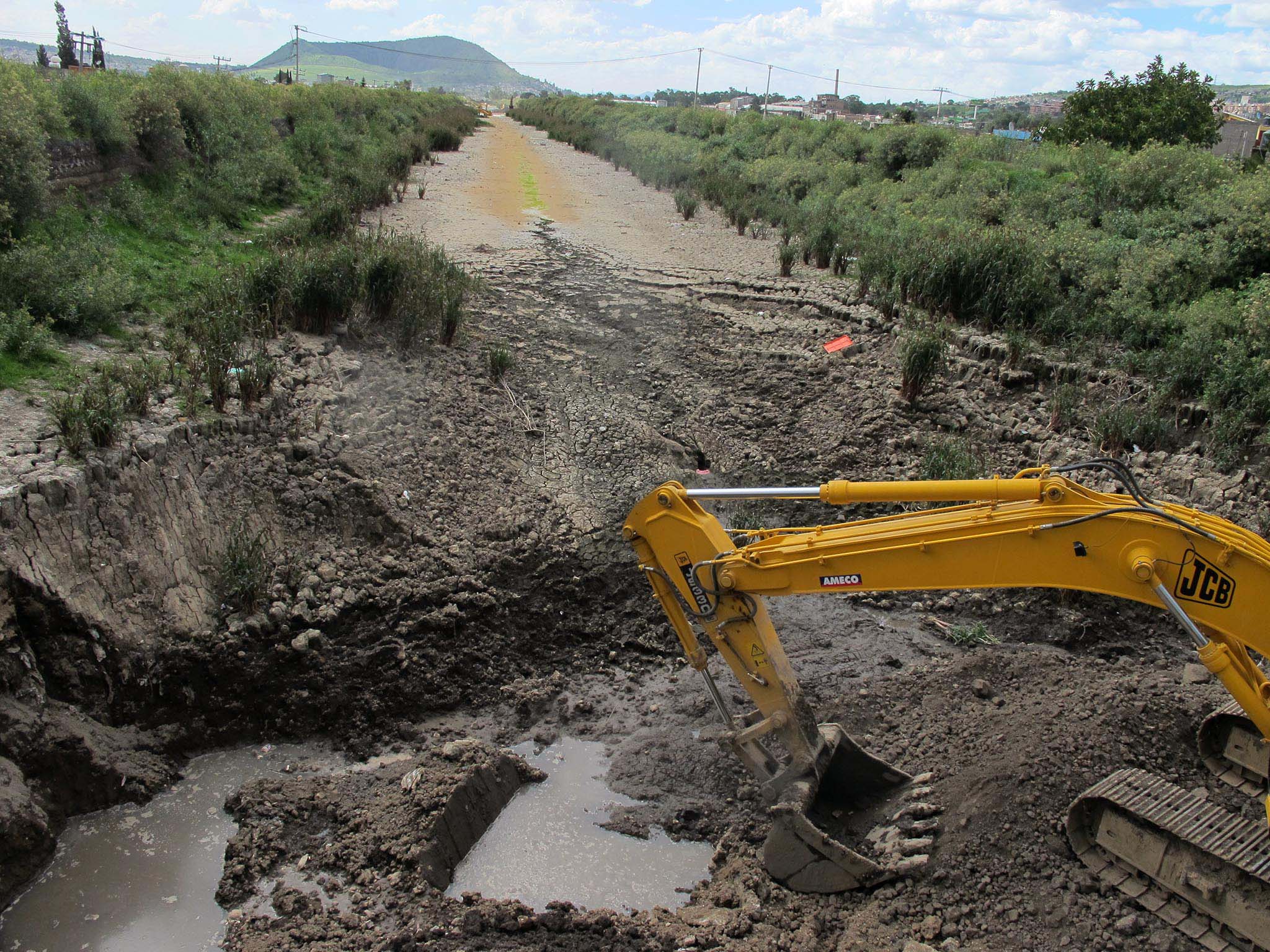
If volcanoes are one parent of the civilization in the Valley of Mexico than lakes must be the other. And of these lakes the largest was the lake of Texcoco in the eastern part of the Valley, once known for the mirages which appeared over its surface when the water was colder than the air, in which boats would be seen floating in the sky among the clouds instead of on the water as late as 1872. The lakes attracted vast quantities of birds which were a staple of the local cuisine. In the end these natural wonders were drained by the modern, practical men of their era, following the latest urban trends. Now there are but a few reservoirs left of what was once the largest lake in Mexico.

The Lake of Texcoco is currently a dusty plain interrupted by a few reservoirs forming a barrier between Mexico City and Texcoco. To the north is the impressive spiral of Sosa Texcoco, like a huge piece of landscape art and the self-built colonias of Ecatepec and Acolman, as well as the village of Atenco. To the south are the garbage dumps, sport fields and informal settlements of Chimalhuacan and Ciudad Nezahualcoyotl with all the appearance of an urban desert. The city cannot invade the lake basin from the east due to the wide canal of the Interceptor Poniente running parallel to the broad freeway of the Circuito Exterior Mexiquense.
If the Lake of Texcoco was once where the Mexica dream of Tenochtitlán took hold on an island, now it is where the battle for the city’s sustainability is being fought. The lake holds the key to the recuperation of the hydrological balance of the valley. Imagine a Valley of Mexico where the water stays, instead of being drained out toward the Pacific. This is the holy grail for many Mexican architects and urbanists – the recuperation of the city’s rivers and lakes.

Following in the footsteps of the Tlatoani of Texcoco, Nezahualcoyotl, fasting coyote, who built the great hydraulical works of the Aztecs in the lake some future urbanist or political leader may as yet return the city to its aquatic origins. An airport is now proposed for the lake’s basin. In the meantime the Lake of the Texcoco is a desert, haunted by depleted flocks of birds migrating to an uncertain future.
33. Sierra de Chichinautzin
The Valley of Mexico is one of the bio-diverse areas in the world. According to the CONABIO 0.5% of all the world´s flora and fauna is found here. As species were pushed downward in the last ice age around 10,000 years ago they adapted themselves to the mountains and the lakes, their path blocked by the tumultuous volcanoes which were rising to the south of the basin. And though the lakes are gone the volcanoes still remain
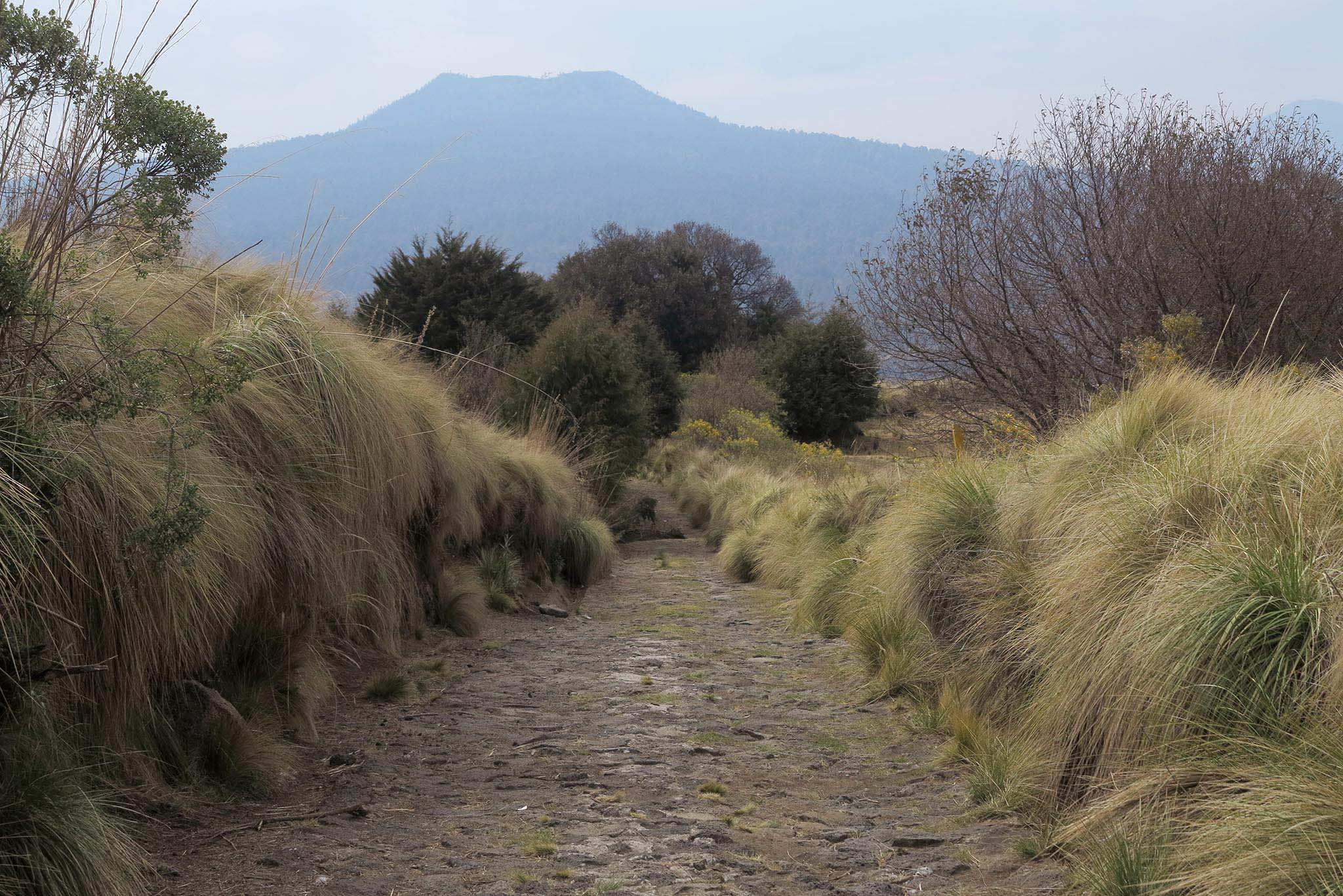
The volcano Chichinautizn gives its name to the mountains south of the city. The pine-covered and volcanic Sierra Chichinautzin-Ajusco lies at the heart of biodiversity in the Valley of Mexico. The volcano itself is low and broad, surrounded by volcanoes and hills. Pine trees spring up between basalt rocks covered by moss, agaves and cacti. Because it is a relatively new volcano its are still jagged. Any trees cut down here would splinter to pieces before getting off the volcano’s slopes. And so it has never suffered deforestation. The volcanoes difficult terrain make it a great hiding place and in some ways it might be considered the refuge of the people of Milpa Alta, many of whom fled here when the Mexican revolution went badly for them.
The volcano-dotted Sierra Chichinautzin is not hinterland of Mexico City, but of the people of Milpa Alta, cultural cousins of the indigenous people of Morelos across the mountains. One of the bigger pilgrimages of the people of Milpa Alta is over the Sierra Chichinautzin to Tepoztlan on the other side of the range in Morelos. In this mountain range Fidel Castro and Che Guevara trained on the Hill Ayaquemetl by the Rancho Santa Rosa to prepare for the Cuban Revolution in the fifities.
The villages in Milpa Alta, Xochimilco and Tlalpan are growing outwards forming the primary form of urbanization in the hills along the freeway to Cuenavaca. Residential houses are built in mountain pastures along the edge of the megalopolis and small shops spring up along the roads. Communal land regimes lend a fierce territoriality to the area and illegal forestry causes frictions between communities. Hunters for rabbit roam the mountainsides jealously guarding the best spots for the mushrooms they sell in the market after their expeditions. Four of Mexico’s big cats, puma, lynx, leoncillo and ocelotl inhabit these mountains. The Sierra Ajusco-Chichinautzin is still wild.
34. Sierra de las Cruces, Monte Alto and Monte Bajo
The western edge of the city meets steep, pine-covered mountains, bisected by ravines. This range goes from the Magdalena Contreras to Nicolas Romero. The economy of these areas revolves around trout farms, family recreation, rustic restaurants and small-scale agriculture. There is no place to continue the city after it has exhausted the steep ravines cutting down to the valley. The final frontier of the city is the premium highway going from Chimapa to La Quebrada running across the face of western mountains from North to South. That is where the last informal houses are built in the mountains’ foothills. In the rainy season water rushes to the floor of the Valley of Mexico from these mountains. Through culverts in municipalities like Naucalpan it enters the system of entubed rivers forming Mexico city’s drainage system.
The villages of the western mountain range lie along winding roads through the pine forest. They are relatively close to the megalopolis and can cater to day trips. Trout farms have always been the economic alternative to small-scale forestry in Mexico, and restaurants and off-road vehicle circuits can form small tourist attractions.
The villages in these steep mountains seem to have less relation with the city than those in the south. The people of Milpa Alta still are culturally contiguous with the people of Xochimilco and there are practically no villages between Milpa Alta and Morelos. In the mountains of the west villages are more on their own. Towards the north the culture of the Otomi’s, the indigenous tribe known to themselves as Nahnu, centers around the village of Villa de Carbon with its ceremonial complex and the culture of the Mazahua is strong to the north of these mountains in San Felipe del Progreso.
The Monte Bajo, Alto and De Las Cruces were once known for the bandits hiding in their rugged folds. In 2011 the municipality of Jilotzingo above Naucalpan gained notoriety by having its whole municipal police force, 24 officers, arrested for being part of the narcocartel, the Caballeros Templarios. In 2015 the inhabitants of Jiltozingo were on the point of lynching 10 municipal police officers for failing to intervene after a kidnapping.
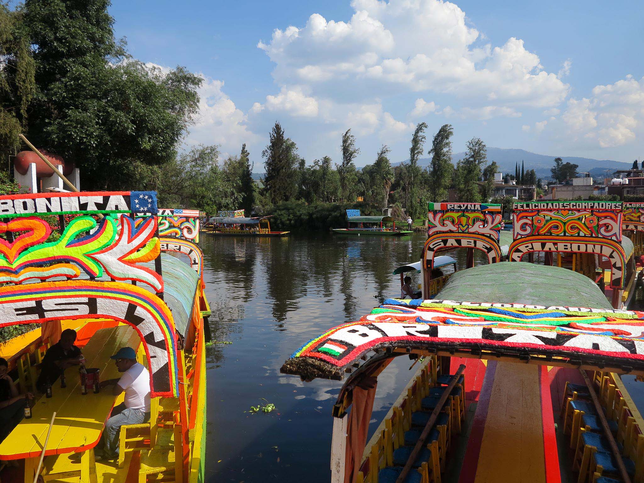
35. Lake of Xochimilco
To the south of the city lie the wetlands of Xochimilco, Tlahuac and Chalco, green flat wetlands with canals lined by junipers and willows. This area is a UNESCO heritage site, of great ecological and cultural importance. Now most inhabitants of Mexico City now it as a place for colorful outings on boats pushed along by bargemen with food, drink and musicians. Yet these fields are now quickly urbanizing and the waters of the canals are polluted.
The highly fertile chinampas, fields raised up with mud from the lake around the Lake of Xochimilco was once the breadbasket of the Valley of Mexico. Xochimilco has almost no old haciendas a testimony that its indigenous agricultural methods were to strategic to the city to be messed with. Volcanic soil, water and excellent climate and the custom of dredging up mud and vegetation from the canals made for a unique agricultural area yielding three harvests a year. The long canal from Xochimilco to the city was crowded with boats carrying produce as late as 1900.
Now the lake and canals are artificially maintained by water coming from a water treatment plant in Iztapalapa. All the indigenous white fish have long disappeared. The area’s signature species, the dragon-like salamander called Ajalote, no longer appears in the wild. Still Xochimilco between its lake and canals and the hills lying behind it contains about 300 species of birds, an impressive number when compared to the 600 species in all of Canada and the United States.
Residential housing covers much of what was once among the world’s best agricultural land. Though communal land regimes and zoning laws make sale of the land difficult, the land is sold by bits and pieces. Yet the grid of canals themselves form a barrier to urbanization. Chinampas after all are meant to be rached by boat.